From Idu Jude Abuja
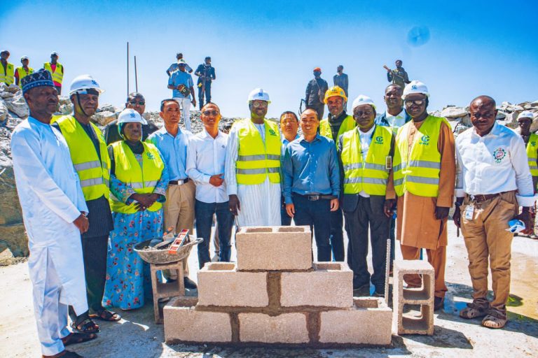
The Director General of the National Space Research and Development Agency (NASRDA), Dr. Mathew Olumide Adepoju has on Thursday performed the groundbreaking ceremony of the Geodetic Very Long Baseline Interferometry (VLBI) project at the Center for Geodesy and Geodynamics, (CGG) Toro, Bauchi State.
According to Dr Adepoju, the project is one of the milestone projects of President Bola Tinubu’s administration in the area of science and technology.
He described the project as a major effort at mitigating the adverse effects of natural hazards on the entire citizenry of Nigeria and safeguarding their property.
“I am particularly excited that it is during my tenure as the Director-General/Chief Executive of NASRDA that we are witnessing this epoch-making event,” he said.
He explained that the choice of the location of the project was based on the fact that it is sited on a solid geological bedrock (Older Granites) that can serve as an immobile belt on which the Very Long Baseline Interferometry (VLBI), Global Navigation Satellite System (GNSS), and Satellite Laser Ranging (SLR) can be situated.
The DG expressed the appreciation of the Government and people of Nigeria to the Government of the People’s Republic of China through its partner, the Shanghai Astronomical Observatory, for funding the project.
He said: “This project is a result of the collaboration between the National Space Research and Development Agency (NASRDA) and the Shanghai Astronomical Observatory (SHAO), China. “This gesture by the Chinese government will go a long way in strengthening the already existing cordial relationship between our countries.”
He praised the Director of CGG, Dr Joseph Danasebe Dodo for his efforts and resilience in initiating the project and the staff of the Centre for Geodesy and Geodynamics in seeing to the realization of this dream conceived many years ago.
Speaking at the event, Dr. Dodo expressed joy at the realization of the VLBI project while noting with gratitude the resilience and solidarity of the NASRDA boss in ensuring that the project comes to fruition.
The Project Manager of the Chinese International Telecommunication Construction Company (CITCC), Mr. Wu Jiyong, appreciated the opportunity given to the company to execute the project while assuring the agency of a thorough job.
Dignitaries present at the epoch-making occasion include Directors in the Agency, traditional rulers and Chiefs from Lame, Jama’a, and Toro communities, local politicians, staff members, and members of the host community.
This multi-million-dollar project is primarily aimed at deep space science, which includes satellite tracking, space missions, earth orientation parameters determination, national defense, and monitoring of geodynamics phenomena such as earthquakes, and volcanic eruptions, among others, in Nigeria and Sub-Saharan Africa.
The infrastructure will also contribute to the global network of Space Geodetic Systems for the understanding of the Global Reference Frame and Plate Tectonics. It is the first and only one in the Sub-Saharan Africa.
The benefits of the project when completed will include among others: the tracking of spacecraft for national defense, monitoring of space missions, monitoring of space weather and climate change, providing unambiguous earth orientation parameters, determination of orbit and location of satellites, monitoring of geodynamic events at regional and global scales, contribution to the global network of space geodetic systems and aid in the understanding of the global reference frame and Earth’s tectonic activities.
